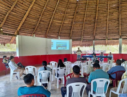
The Regional Organization of Indigenous Peoples of the Eastern Amazon (ORPIO) held a working meeting to share the progress of the Early Warning System (SAT-CIPTO) with its Board of Directors and technical team, marking a key step toward building an effective, Indigenous-led territorial monitoring system. This initiative is part of ORPIO’s strategic vision to strengthen territorial governance and Indigenous technological autonomy in the Peruvian Amazon.
During the meeting, the team from ORPIO’s Territorial Information and Planning Center (CIPTO) presented the system’s progress, which integrates satellite imagery, community reports, and geospatial analysis to detect and alert about invasions, illegal extractive activities, deforestation, and infrastructure projects that threaten Indigenous territories in the Loreto region.
CIPTO’s mission is to systematize and organize all available spatial data related to Indigenous peoples and the threats to their territories. This information is translated into maps produced with Geographic Information Systems (GIS), technical reports, and official documents that feed into the Early Warning System for Territorial Governance Platform (SAT-CIPTO). The outputs generated will be submitted to the relevant authorities to promote timely state action and mitigate risks in Indigenous territories.
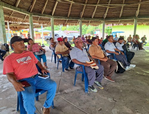
ORPIO’s Board of Directors emphasized the importance of SAT-CIPTO as a strategic tool for strengthening the defense and autonomous management of Indigenous territories, agreeing to continue monitoring activities, local monitor training, and the technical consolidation of the system.
This initiative is made possible through a grant from Earth Insight, whose mission is to build tools and partnerships that restrict the expansion of extractive industries threatening key ecosystems and to support Indigenous and regional organizations working to protect vulnerable lands and waters.